


TMB day 4

elixpomatia
User
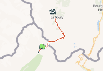

Length
16.6 km

Max alt
2532 m

Uphill gradient
768 m
Km-Effort
27 km

Min alt
1601 m

Downhill gradient
950 m
Boucle
No
Creation date :
2015-10-11 00:00:00.0
Updated on :
2015-10-11 00:00:00.0
5h37
Difficulty : Medium

FREE GPS app for hiking
 SityTrail
IGN / Geographical institutes
SityTrail Plus
The world is yours!
About
Trail Walking of 16.6 km to be discovered at Aosta Valley, Unknown, Courmayeur. This trail is proposed by elixpomatia.
Description
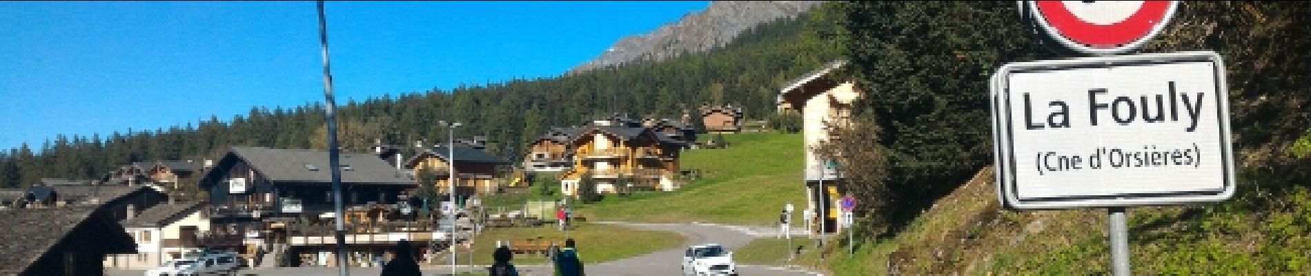
Val Ferret -> La Fouly
Photos


35 photos in total. Please click on a photo to see them all in the gallery.
Positioning
Country:
Italy
Region :
Aosta Valley
Department/Province :
Unknown
Municipality :
Courmayeur
Location:
Unknown
Start:(Dec)
Start:(UTM)
349042 ; 5081743 (32T) N.
Comments