


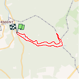


9.8 km | 13.1 km-effort

User


FREE GPS app for hiking
 SityTrail
IGN / Geographical institutes
SityTrail World
The world is yours!
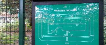
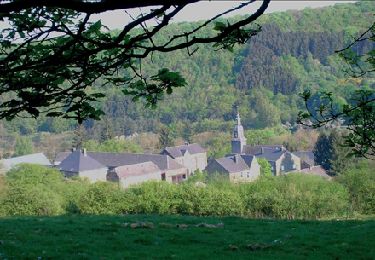
Trail Walking of 10.9 km to be discovered at Wallonia, Luxembourg, Saint-Hubert. This trail is proposed by GerardBouche.
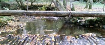
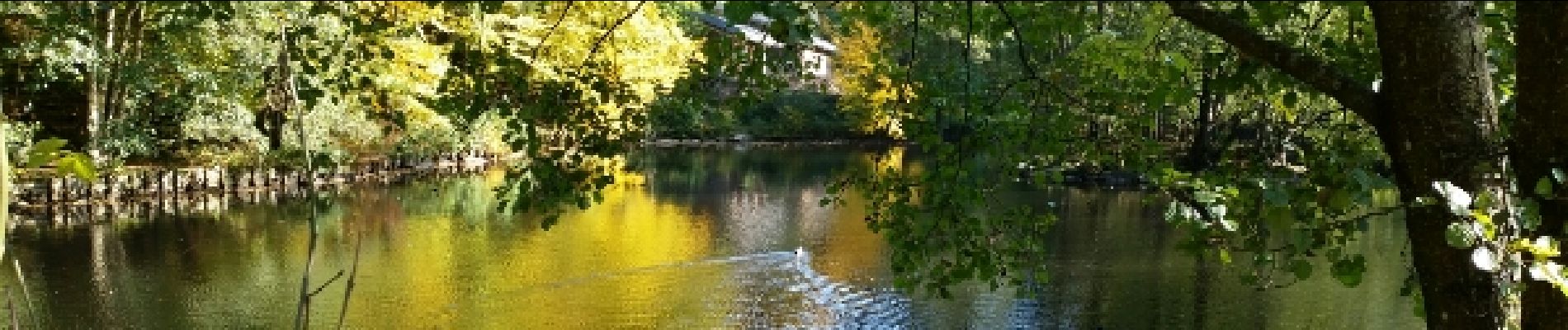
Départ de la brasserie "Al Pèle " par l'arboretum-> le passage à gué et suivre la Masblette par le Tier des Grippes. Retour par le Ri du Pied de Boeuf et Plain St-Michel.
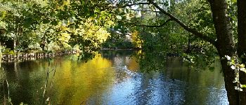
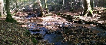
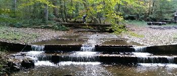
 - Photo 1")
 - Photo 2")
 - Photo 3")
 - Photo 4")
 - Photo 5")
 - Photo 6")
 - Photo 7")
 - Photo 8")
 - Photo 9")
 - Photo 10")
 - Photo 11")
 - Photo 12")
 - Photo 13")

Walking

Walking

Walking

Walking
Walking
Walking
Cycle

Cycle

Walking