


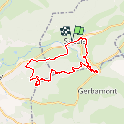

6.3 km | 8.9 km-effort

User GUIDE


FREE GPS app for hiking
 SityTrail
IGN / Geographical institutes
SityTrail World
The world is yours!
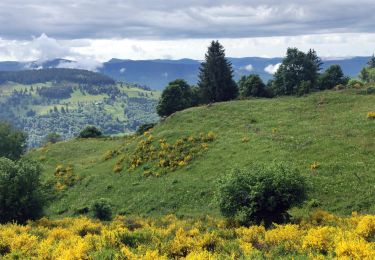
Trail Walking of 8.2 km to be discovered at Grand Est, Vosges, Sapois. This trail is proposed by Desrumaux.
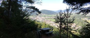
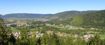
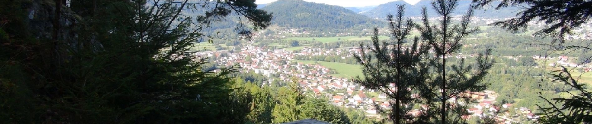
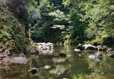
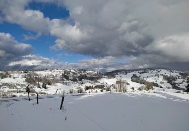
Très jolie balade pittoresque au cœur de la vallée encaissée du Bouchot et les hauteurs du massif du Mettey avec de magnifiques vues sur le village de Vagney.
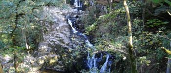
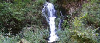
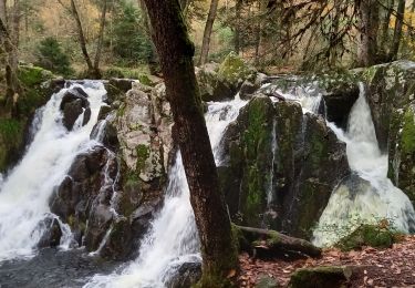
Serpentant au cœur de la vallée de Rochesson, le Bouchot plonge à Sapois en une cascade de 28 mètres dans un cirque de toute beauté. Il viendra ensuite gonfler les eaux de la Moselotte à Vagney.
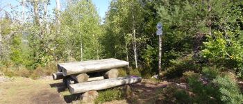
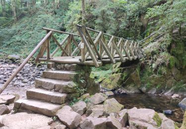
Balisage : disque rouge et disque bleu sur la fin du parcours


Walking

Walking

Walking
Horseback riding
Horseback riding
Walking
Walking
Walking
Walking
Bonne randonnée merci .