


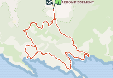


8.6 km | 12.5 km-effort

User


FREE GPS app for hiking
 SityTrail
IGN / Geographical institutes
SityTrail World
The world is yours!
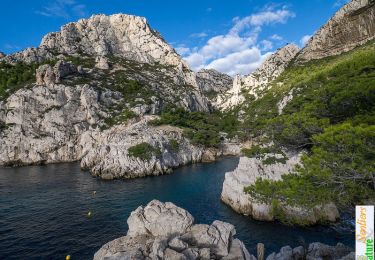
Trail Walking of 15 km to be discovered at Provence-Alpes-Côte d'Azur, Bouches-du-Rhône, Marseille. This trail is proposed by PVERTICAL.
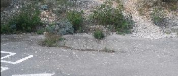
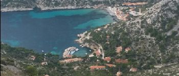
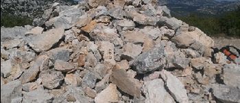
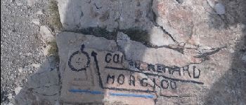
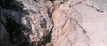
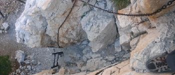
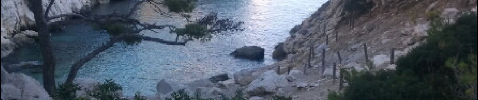
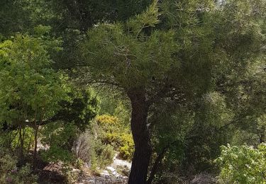
ACCES REGLEMENTE - depuis la fac de Luminy, un chemin montée rude avec cailloux croulants (point1), possibilité de l'éviter. un petit détour pour admirer un point de vue sur la calanque de Sormiou. Quelques passages faciles où il faut s'aider des mains (escalade facile ou échelle)


Walking

Walking

Walking
Walking

Walking

Walking
Walking

Running

On foot