


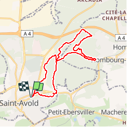

12.2 km | 16.2 km-effort

User


FREE GPS app for hiking
 SityTrail
IGN / Geographical institutes
SityTrail World
The world is yours!
Trail Walking of 14.8 km to be discovered at Grand Est, Moselle, Saint-Avold. This trail is proposed by oger_eric.
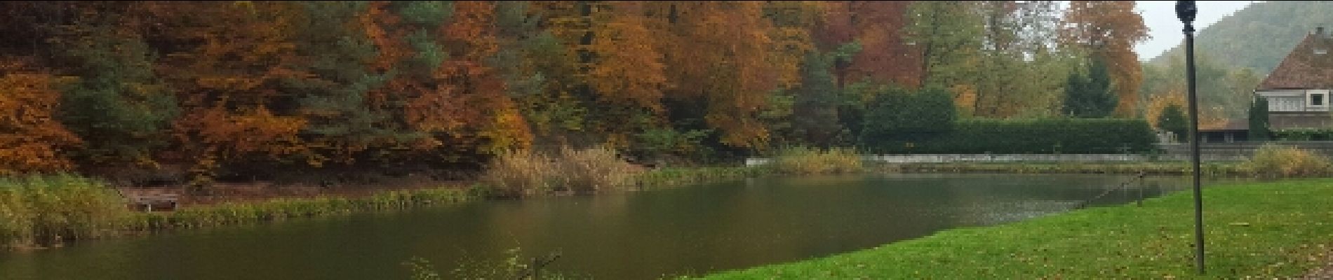
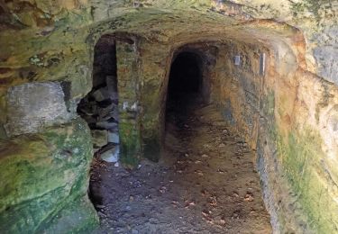
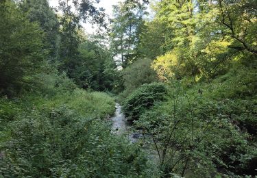
super chemin pour une matinée dans la foret.


On foot

On foot

On foot

On foot
On foot
Walking

On foot

Walking
Walking