


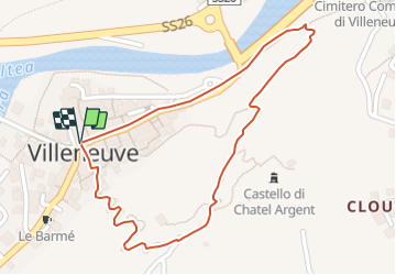
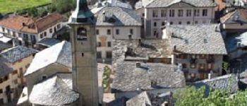
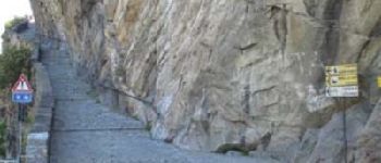
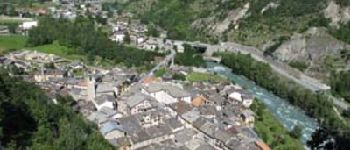
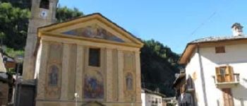
3 - L''anello di Villeneuve

alberto26
User

Length
1.2 km

Max alt
786 m

Uphill gradient
110 m
Km-Effort
2.7 km

Min alt
651 m

Downhill gradient
112 m
Boucle
Yes
Creation date :
2014-12-10 00:00:00.0
Updated on :
2014-12-10 00:00:00.0
45m
Difficulty : Unknown

FREE GPS app for hiking
 SityTrail
IGN / Geographical institutes
SityTrail Plus
The world is yours!
About
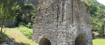
Trail Walking of 1.2 km to be discovered at Aosta Valley, Unknown, Villeneuve. This trail is proposed by alberto26.
Photos


Points of interest


Positioning
Country:
Italy
Region :
Aosta Valley
Department/Province :
Unknown
Municipality :
Villeneuve
Location:
Unknown
Start:(Dec)
Start:(UTM)
360458 ; 5062561 (32T) N.
Comments