


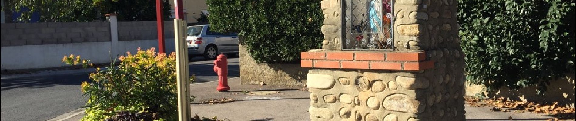
66 BAHO, le village et promenade sur les hauteurs

jeff66
User


1h01
Difficulty : Easy

FREE GPS app for hiking
 SityTrail
IGN / Geographical institutes
SityTrail Plus
The world is yours!
About
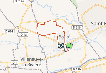
Trail Walking of 6 km to be discovered at Occitania, Pyrénées-Orientales, Baho. This trail is proposed by jeff66.
Description
66 BAHO, parking à proximité du Château d'Eau, avenue des Alberes. Rue du bail,
place de l'église, mairie, Parc Jeanne de Guardia. RD1-avenue du Canigou, Avenue des corbières, cimetiere, camp Del Viver. Réservoir, pla de les Forques, mas sarmet, tour
Télécom, emprunter la RD1 puis prendre chemin à gauche, chemin de la Carrerade, traverser le rond point de la RD1 vers avenue du stade, salle Evora, écoles, rue des rouges-gorges
Photos


Positioning
Comments