


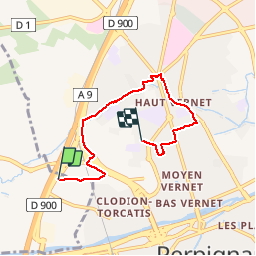
66 SAINT-ESTEVE, chemin du sacré cœur Perpignan

jeff66
User


1h00
Difficulty : Easy

FREE GPS app for hiking
 SityTrail
IGN / Geographical institutes
SityTrail Plus
The world is yours!
About
Trail Walking of 5.6 km to be discovered at Occitania, Pyrénées-Orientales, Saint-Estève. This trail is proposed by jeff66.
Description
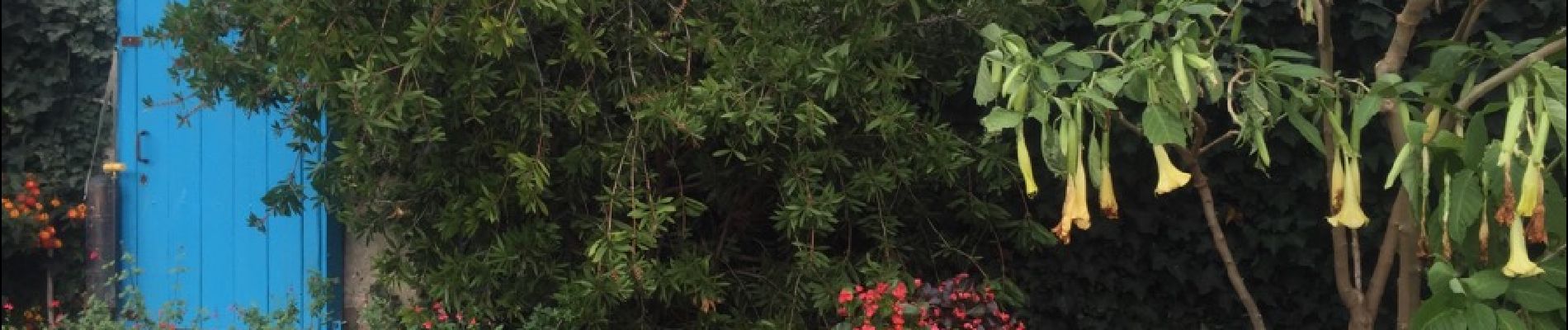
66 SAINT-ESTEVE, chemin de Neguebous, jardin Nolla, Marcenac fleurs, passage sous la voie ferrée, emprunter la RD617 et prendre le pont sous la RN9 puis la longer sur route en contrebas, rentrer dans Perpignan, clos San Lluis, la perpignanaise, saint Louis de Gonzaque, longer le canal bordé de vieux platanes et de chênes pour arriver au Haut Vernet, parc Maillol et jardins familiaux, rue de Torremilla, av. de la salanque, rue Albert Samain, rue Paul Alavail, rue Gabriel Baille, collège JS Pons, stade Aimé Giral, rue Pierre Nicolau, allée d'aimé Giral, av. du Mal Joffre, rue des fauvettes, rue Beausejour, rue des oiseaux, rue du soleil, chemin du sacré cœur
Photos


Positioning
Comments