


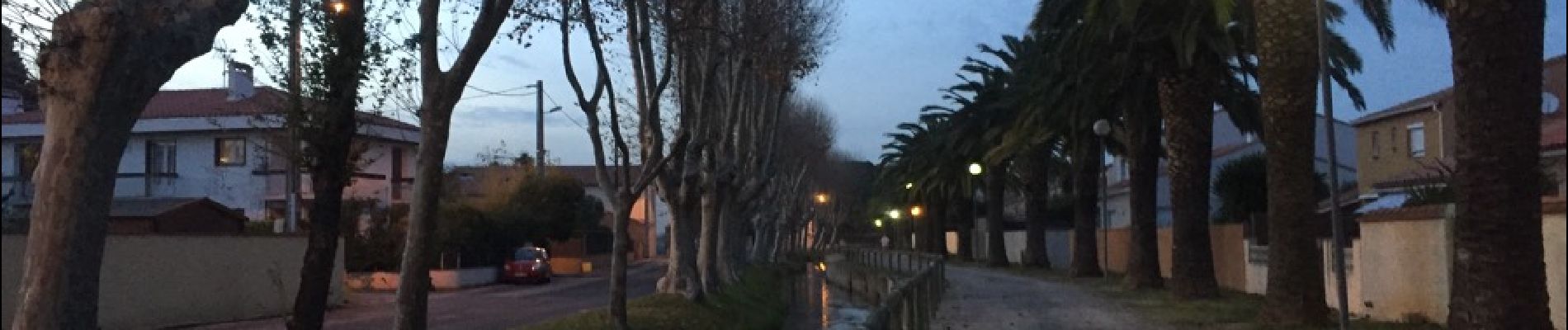
66 ST-ESTEVE, à PERPIGNAN-Bas Vernet par Le centre ville, la Colomina et l'espace St-Mamet

jeff66
User
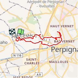

Length
14.2 km

Max alt
49 m

Uphill gradient
76 m
Km-Effort
15.2 km

Min alt
26 m

Downhill gradient
77 m
Boucle
Yes
Creation date :
2015-12-18 00:00:00.0
Updated on :
2015-12-18 00:00:00.0
2h23
Difficulty : Medium

FREE GPS app for hiking
 SityTrail
IGN / Geographical institutes
SityTrail Plus
The world is yours!
About
Trail Walking of 14.2 km to be discovered at Occitania, Pyrénées-Orientales, Saint-Estève. This trail is proposed by jeff66.
Description
66 ST-ESTEVE, à PERPIGNAN-Bas Vernet par Le centre ville, la Colomina et l'espace St-Mamet
Photos


Positioning
Country:
France
Region :
Occitania
Department/Province :
Pyrénées-Orientales
Municipality :
Saint-Estève
Location:
Unknown
Start:(Dec)
Start:(UTM)
486703 ; 4728332 (31T) N.
Comments