


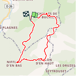

16.8 km | 29 km-effort


User


FREE GPS app for hiking
 SityTrail
IGN / Geographical institutes
SityTrail World
The world is yours!
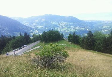
Trail Walking of 8.5 km to be discovered at Auvergne-Rhône-Alpes, Upper Savoy, Vailly. This trail is proposed by christophe7406.
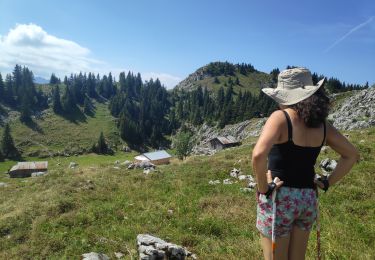
Départ le Sciard-Nifflon d'en bas&d'en haut-Pointe d'Ireuse et descente par pas de l'echelle
Walking

Walking

Running
Walking
Running
Snowshoes
Walking
Walking
Walking
Belle balade