


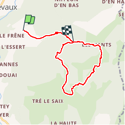


26 km | 53 km-effort

User


FREE GPS app for hiking
 SityTrail
IGN / Geographical institutes
SityTrail World
The world is yours!
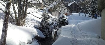
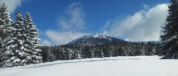
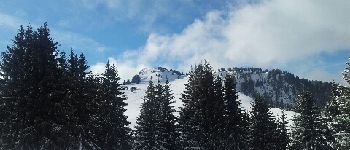
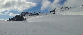
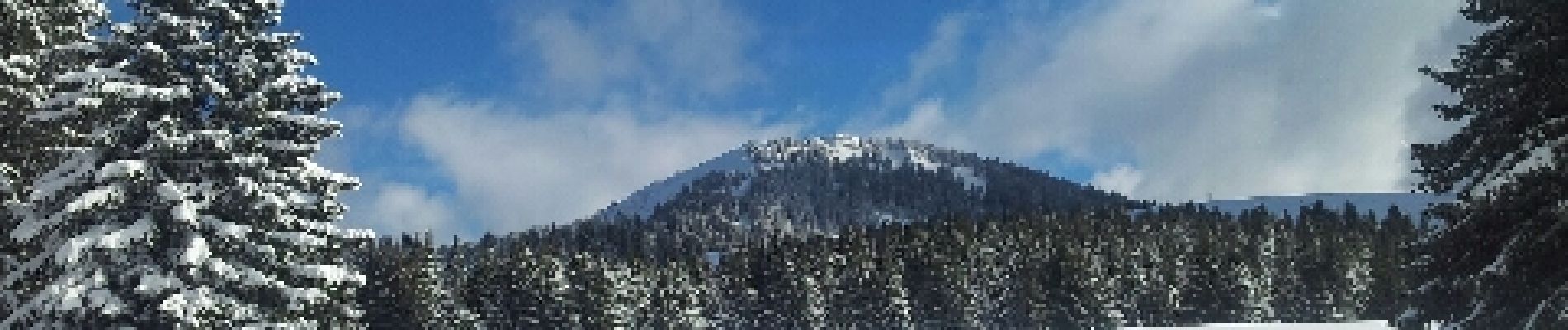
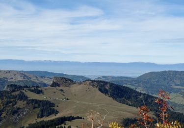
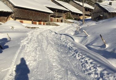
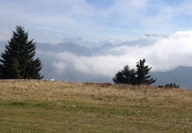
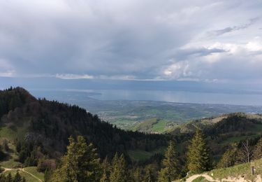
Trail Snowshoes of 7.2 km to be discovered at Auvergne-Rhône-Alpes, Upper Savoy, Bellevaux. This trail is proposed by michelpratesi.


Nordic walking

Walking
Walking
Walking
Other activity

Running
Walking
Running
Walking
bonne randonnée