


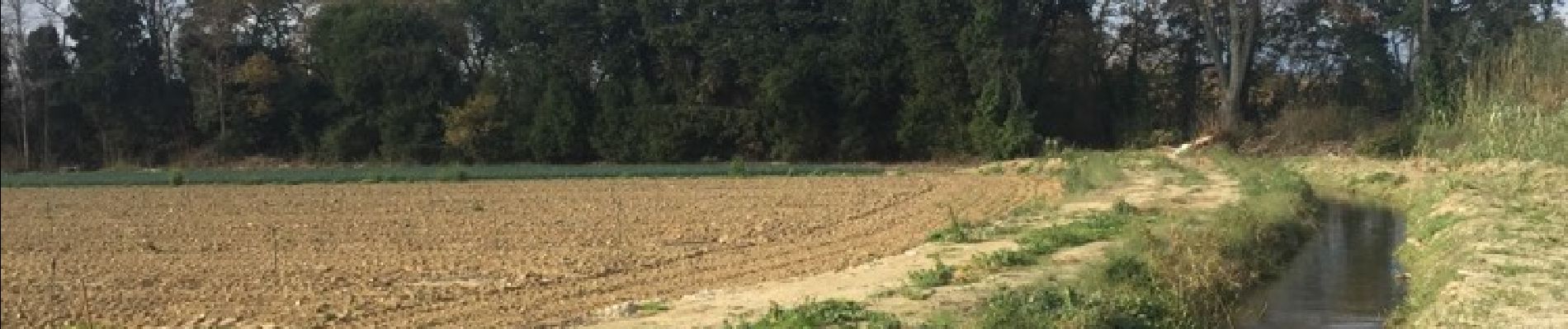
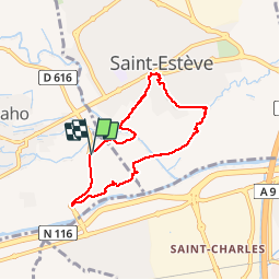
66 SAINT-ESTEVE, promenade entre jardins, canaux et centre ville

jeff66
User


1h16
Difficulty : Easy

FREE GPS app for hiking
 SityTrail
IGN / Geographical institutes
SityTrail Plus
The world is yours!
About
Trail Walking of 6.9 km to be discovered at Occitania, Pyrénées-Orientales, Baho. This trail is proposed by jeff66.
Description
66 SAINT-ESTEVE, parking à proximité de la RD616a, emprunter la RD. Colomina d'en LLanti, rond point de la marine. Btp Pimentel, carrières, déchetterie, camp de l'hort, l'aiguals, pont sur Correc de la Bola, longer le Rec del Vernet, rue de la république, rue Adrien Cantié, rue Charles Mas, place et rue de l'église, rue Agusanum, rue des rossignols, passerelle puis longer le canal, longer puis traverser le Correc de la Bola, camp de l'Hort
Photos


Positioning
Comments