


Lacs au dessus des Bouillouse

jpipacific
User


Length
17.6 km

Max alt
2309 m

Uphill gradient
534 m
Km-Effort
26 km

Min alt
1732 m

Downhill gradient
924 m
Boucle
No
Creation date :
2016-01-06 00:00:00.0
Updated on :
2020-08-26 09:39:10.232
5h15
Difficulty : Difficult

FREE GPS app for hiking
 SityTrail
IGN / Geographical institutes
SityTrail Plus
The world is yours!
About
Trail Touring skiing of 17.6 km to be discovered at Occitania, Pyrénées-Orientales, Font-Romeu-Odeillo-Via. This trail is proposed by jpipacific.
Description
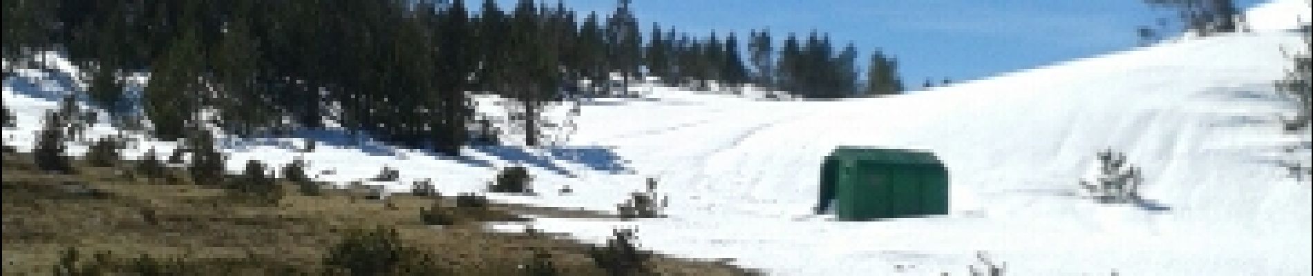
Ski de randonnée
Photos


Positioning
Country:
France
Region :
Occitania
Department/Province :
Pyrénées-Orientales
Municipality :
Font-Romeu-Odeillo-Via
Location:
Unknown
Start:(Dec)
Start:(UTM)
419328 ; 4709438 (31T) N.
Comments