


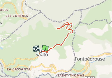

9.3 km | 18.5 km-effort

User


FREE GPS app for hiking
 SityTrail
IGN / Geographical institutes
SityTrail World
The world is yours!
Trail Snowshoes of 7.7 km to be discovered at Occitania, Pyrénées-Orientales, Sauto. This trail is proposed by jpipacific.
Que de la montée à l'aller. somptueux panorama


Walking

Walking

Walking

Walking

Walking
Walking
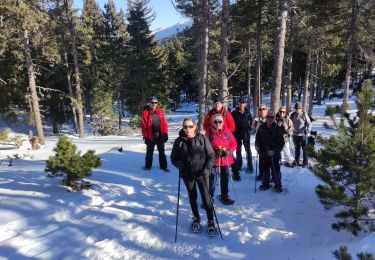
Snowshoes
Walking

Snowshoes