


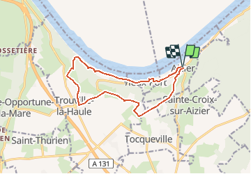

14.6 km | 18.6 km-effort


User


FREE GPS app for hiking
 SityTrail
IGN / Geographical institutes
SityTrail World
The world is yours!
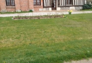
Trail Walking of 12.2 km to be discovered at Normandy, Eure, Aizier. This trail is proposed by randovivi.
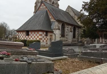
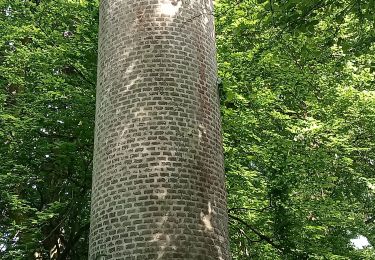
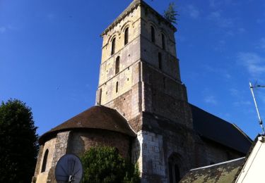
Départ de l'église St. Pierre. Chapelle St. Thomas de Canterbury à Aizier

Walking
Walking
Walking
Walking
Walking
Walking

Walking
Walking
Walking
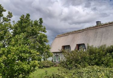
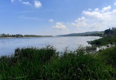
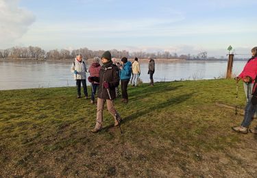
chemin supprimé le long de la Seine falaise dangereuse obligé de reprendre la route
Trop bien