


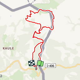


13.8 km | 26 km-effort

User


FREE GPS app for hiking
 SityTrail
IGN / Geographical institutes
SityTrail World
The world is yours!
Trail Walking of 10.6 km to be discovered at Navarre, Unknown, Bera. This trail is proposed by DECHAMPD.
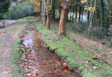
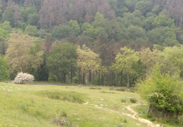
départ Benta Lizuniagako, Gondendiagako Bidea, Kondendiagako lepoa, Larun et descente en suivant la ligne frontière BF 25 à BF36 par Urkilako Lepoa, Baratz, Meaka, et ligne de crête jusqu'au point de départ.


Walking

Walking
Walking
Walking
Walking
Walking


sport
Walking
Walking