


15.7 km | 25 km-effort

User


FREE GPS app for hiking
 SityTrail
IGN / Geographical institutes
SityTrail World
The world is yours!
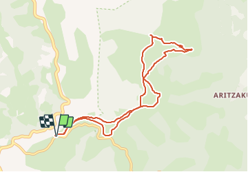
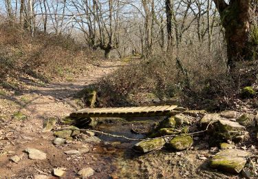
Trail Walking of 9.7 km to be discovered at Navarre, Unknown, Baztan. This trail is proposed by DECHAMPD.
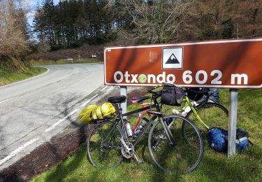
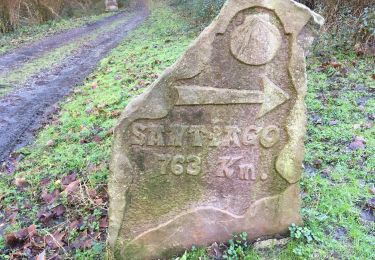
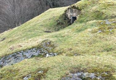
départ d'Urrizti à 1,5km du col D'OTSONDO, en suivant les crêtes jusqu'à Lizartzu et ses tunnels, en passant par sols et sommets Kaskolarrutu, Antsestegiko, Antestegi, Burchako, Lizartzuka. en empruntant "Nopoleolen Bidea". nombreux monuments mégalithiques et nécropoles
secteur à éviter pendant la chasse à la palombe
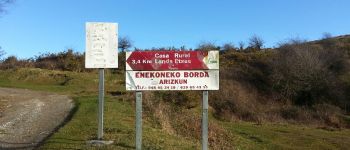
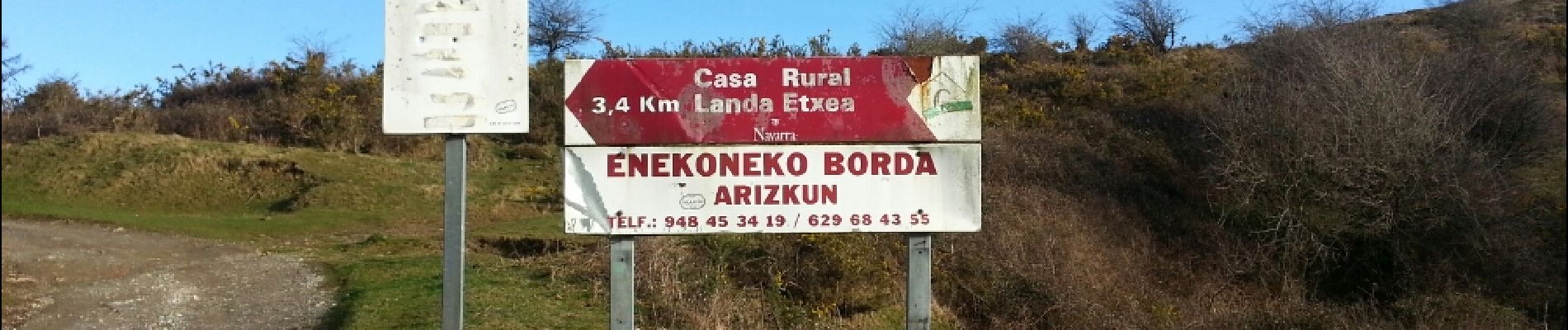
 - Photo 1")
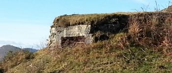
 - Photo 2")
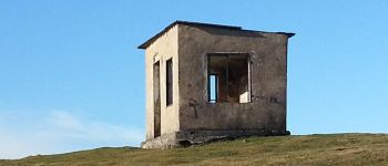
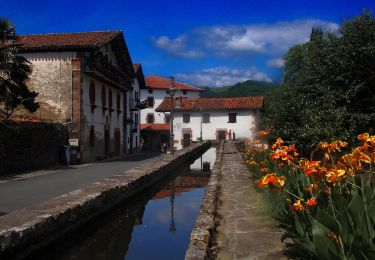
 - Photo 3")

On foot
On foot
On foot
Walking
Walking
Walking
Walking