


32 km | 52 km-effort

User


FREE GPS app for hiking
 SityTrail
IGN / Geographical institutes
SityTrail World
The world is yours!
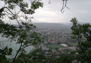
Trail Walking of 4.4 km to be discovered at Auvergne-Rhône-Alpes, Upper Savoy, Argonay. This trail is proposed by COMAN.
Depuis le parking canoë kayak d'Argonay une petite ballade pouvant aller jusqu'au PAE de la Filliere tout en longeant les bords du Fier puis de la Filliere et empruntant pour partie ou totalité le parcours sportif. Là ou se trouvait un terrain de foot et un tremplin pour skate il y a maintenant un centre de dressage pour chiens et une zone délimitée pour modélistes amateurs


Cycle
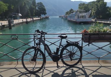
Hybrid bike
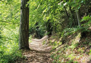
Walking
Walking
Walking
Other activity

Other activity
Walking
Cycle