


Salagnac- Boucle de Saint-Martin

houbart
User
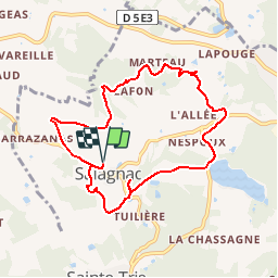

Length
8.6 km

Max alt
315 m

Uphill gradient
182 m
Km-Effort
11 km

Min alt
179 m

Downhill gradient
182 m
Boucle
Yes
Creation date :
2019-03-28 15:47:24.179
Updated on :
2019-03-28 15:47:24.244
2h24
Difficulty : Medium

FREE GPS app for hiking
 SityTrail
IGN / Geographical institutes
SityTrail Plus
The world is yours!
About
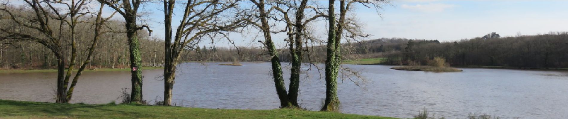
Trail Walking of 8.6 km to be discovered at New Aquitaine, Dordogne, Salagnac. This trail is proposed by houbart.
Description
Départ du cimetière de Salagnac.
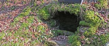
Photos


Positioning
Country:
France
Region :
New Aquitaine
Department/Province :
Dordogne
Municipality :
Salagnac
Location:
Unknown
Start:(Dec)
Start:(UTM)
358616 ; 5019265 (31T) N.
Comments