

Petite remontée du Ninglispo

henriantoine
User

Length
6.7 km

Max alt
390 m

Uphill gradient
229 m

Km-Effort
9.7 km

Min alt
156 m

Downhill gradient
237 m
Boucle
Yes
Creation date :
2018-09-11 10:16:10.617
Updated on :
2018-09-11 10:16:10.617
2h11
Difficulty : Medium

FREE GPS app for hiking
About
Trail Walking of 6.7 km to be discovered at Wallonia, Liège, Aywaille. This trail is proposed by henriantoine.
Description
Classé patrimoine immobilier exceptionnel de wallonnie : Romantique remontée du ruisseau Ninglispo jusque Bain de Diane La Fourchette jusque le point de vue culminant DROUET Alt 315 m puis descente en foret vers le parking du point de départ.
Positioning
Country:
Belgium
Region :
Wallonia
Department/Province :
Liège
Municipality :
Aywaille
Location:
Sougné-Remouchamps
Start:(Dec)
Start:(UTM)
694724 ; 5594345 (31U) N.
Comments
Trails nearby
RB-Lg-24_La-Reid_via-racc-1


Walking
Difficult
(10)
Theux,
Wallonia,
Liège,
Belgium

14.9 km | 20 km-effort
4h 16min
Yes
RB-Lg-24_La-Reid


Walking
Very difficult
(8)
Theux,
Wallonia,
Liège,
Belgium

21 km | 28 km-effort
6h 21min
Yes
RB-Lg-12 - De Sougné-Remouchamps à Deigné et retour


Walking
Difficult
(9)
Aywaille,
Wallonia,
Liège,
Belgium

24 km | 34 km-effort
7h 39min
Yes
RB-LG-12 - Raccourci 2


Walking
Difficult
(5)
Aywaille,
Wallonia,
Liège,
Belgium

17 km | 25 km-effort
5h 46min
Yes
20220717 - HUWAO La Reid - 7 Km


Walking
Medium
(2)
Theux,
Wallonia,
Liège,
Belgium

7 km | 9.5 km-effort
2h 34min
Yes

2021-04-23_12h03m48_1081


Walking
Medium
(1)
Aywaille,
Wallonia,
Liège,
Belgium

17.3 km | 24 km-effort
5h 25min
Yes
2021-02-21_16h28m36_1382


Walking
Medium
(1)
Aywaille,
Wallonia,
Liège,
Belgium

15.7 km | 22 km-effort
4h 53min
Yes
RB-Lg-12 - Raccourci 1


Walking
Difficult
(1)
Aywaille,
Wallonia,
Liège,
Belgium

21 km | 31 km-effort
6h 42min
Yes

Chemin des Sources |stage 9 LA REID - SPA


Walking
Very difficult
(1)
Theux,
Wallonia,
Liège,
Belgium

15.7 km | 21 km-effort
4h 46min
No


 SityTrail


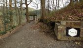
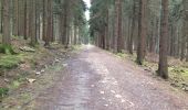
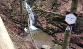
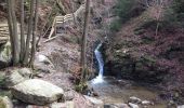
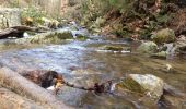
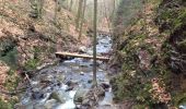
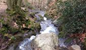
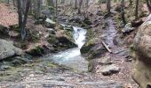
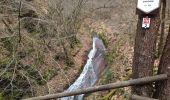
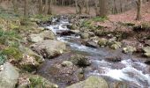
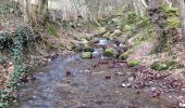
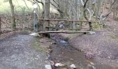
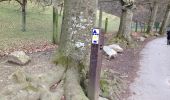
La 1ère partie (100m après le départ et jusqu'à la fourchette) est assez technique et glissante à certains endroits mais est sympa à faire. La 2ème partie est plus rectiligne et presque tout en descente (chemin routable empierré - les genoux sont content d'arriver en bas). Seul le point de vue comme point d'intérêt pour cette partie donc ça paraît plus long surtout avec des enfants.
très chouette balade dans un site magique.assez technique quand tout est gelé comme cette fois-ci. le Ninglinspo est à faire en toute saison. la deuxième partie de la balade est sur terrain facile à travers les bois.