


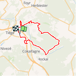


14.1 km | 18.7 km-effort

User


FREE GPS app for hiking
 SityTrail
IGN / Geographical institutes
SityTrail World
The world is yours!
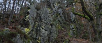
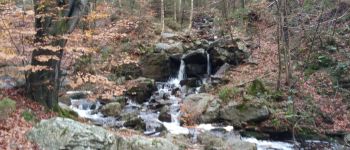
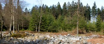
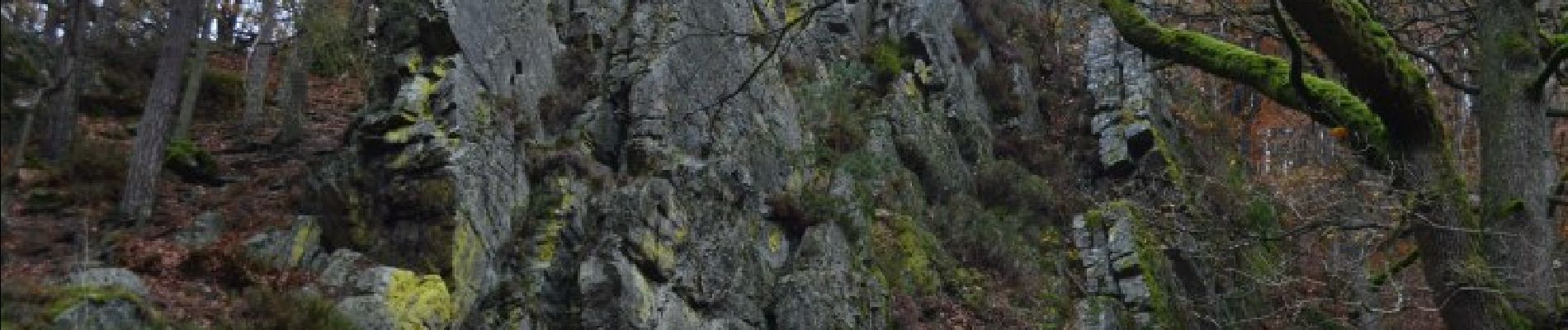
Trail Running of 26 km to be discovered at Wallonia, Liège, Jalhay. This trail is proposed by florkin.


Walking

Walking

Walking

Walking

Cycle
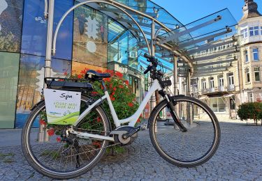
Electric bike

Walking

Walking
On foot
Superbe parcours merci extra Trail
Superbe Trail merci à extratrail
Très bonne application !! :-)
Parcours très agréable, même pour des débutants! ;-)
Superbe