Trail Walking Argelès-sur-Mer - 66 ARGELES SUR MER, mas Ravaner et Mas Cristine, mas d'en SELVA, Valmy - Photo

66 ARGELES SUR MER, mas Ravaner et Mas Cristine, mas d'en SELVA, Valmy

 jeff66
jeff66

User

© OpenStreetMap contributors
Length
Length
12.8 km
Max alt
Max alt
377 m
Uphill gradient
Uphill gradient
401 m
Km-Effort
Km-Effort  
18.1 km
Min alt
Min alt
32 m
Downhill gradient
Downhill gradient
400 m
Boucle
Boucle
Yes
Creation date :
2016-04-11 00:00:00.0
Updated on :
2016-04-11 00:00:00.0

(0 Reviews)

Walking
Walking
2h21
Difficulty : Difficult

Scan this QR Code to open this trail in the SityTrail application

FREE GPS app for hiking

Logo SityTrail SityTrail

IGN / Geographical institutes

Download SityTrail from the App Store Download SityTrail from Google Play

Logo SityTrail SityTrail Plus

The world is yours!

Download SityTrail from the App Store Download SityTrail from Google Play Download SityTrail on Huawei AppGallery

About

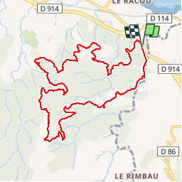
Trail Walking of 12.8 km to be discovered at Occitania, Pyrénées-Orientales, Argelès-sur-Mer. This trail is proposed by jeff66.

Description

66 ARGELES SUR MER, longer le Ravaner, mas Racaner et Mas Cristine, mas Rossignol, mas d'en SELVA, dolmen du collets de COLLIOURE, mas de Cissa Bella, piste DFCI AL42bis, mas Jordi, Bosc de Valmy, Roc de la Jaceta, point d'eau DFCI, Piste DFCI AL42 et AL41

Elevation profile

Positioning

Country:
France
Region :
Occitania
Department/Province :
Pyrénées-Orientales
Municipality :
Argelès-sur-Mer
Location:
Unknown
Start:(UTM)
504704 ; 4708507 (31T) N.


Close
My subscriptions