Trail Walking Condac - Condac_Bioussac_Barro - Photo

Condac_Bioussac_Barro

© OpenStreetMap contributors
Length
Length
26 km
Max alt
Max alt
163 m
Uphill gradient
Uphill gradient
315 m
Km-Effort
Km-Effort  
31 km
Min alt
Min alt
77 m
Downhill gradient
Downhill gradient
316 m
Boucle
Boucle
Yes
Creation date :
2016-04-16 00:00:00.0
Updated on :
2016-04-16 00:00:00.0

(0 Reviews)

Walking
Walking
6h40
Difficulty : Medium

Scan this QR Code to open this trail in the SityTrail application

FREE GPS app for hiking

Logo SityTrail SityTrail

IGN / Geographical institutes

Download SityTrail from the App Store Download SityTrail from Google Play

Logo SityTrail SityTrail World

The world is yours!

Download SityTrail from the App Store Download SityTrail from Google Play Download SityTrail on Huawei AppGallery

About

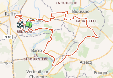
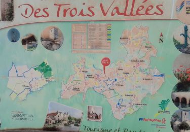
Trail Walking of 26 km to be discovered at New Aquitaine, Charente, Condac. This trail is proposed by neoroll44.

Description

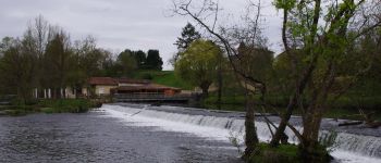
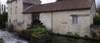
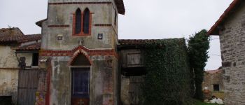
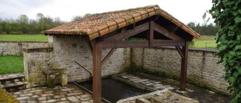
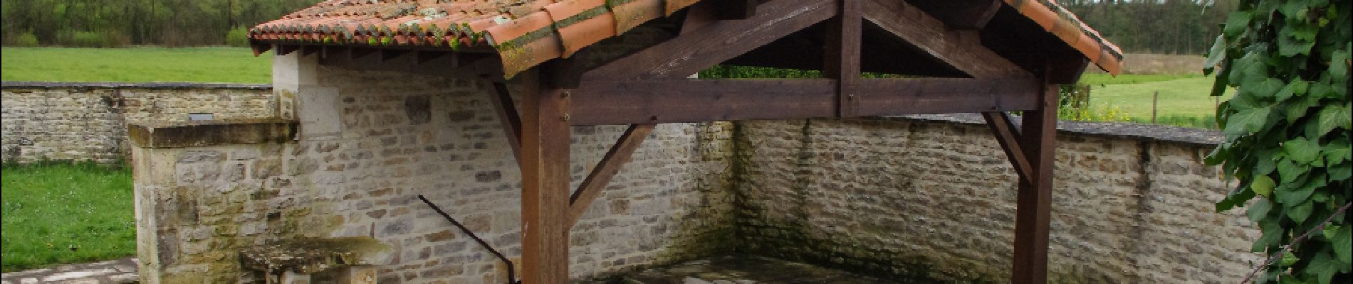
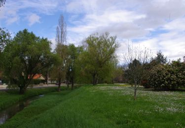
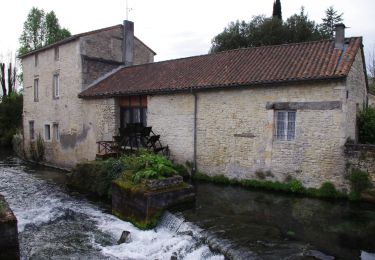
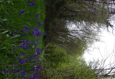
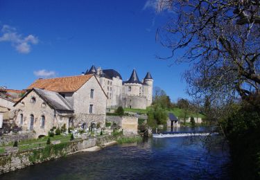
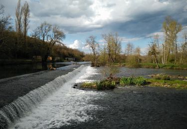
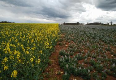
La vallée de la Charente, les champs et les bois. Départ à Rejallant (aire de détente, pique-nique, restaurant, camping, canoë) par le parcours de santé puis le circuit vert de Condac et le mauve de Barro.

Elevation profile

Photos

Points of interest

Point of interest Condac - Rejallant - Photo
neoroll44
CONDAC 
Point of interest Condac - Condac_Moulin - Photo
neoroll44
Point of interest Bioussac - Chapelle de La Bayette - Photo
neoroll44
Point of interest Condac - Lavoir - Photo
neoroll44
CONDAC 

Positioning

Country:
France
Region :
New Aquitaine
Department/Province :
Charente
Municipality :
Condac
Location:
Unknown
Start:(UTM)
284335 ; 5099468 (31T) N.

Trails nearby

Trail Walking Saint-Georges - La rando de St GEORGES 16700 - Photo
Walking
alainjoseph6

Walking

Easy
Saint-Georges, New Aquitaine, Charente, France
7.9 km | 8.9 km-effort
2h 28min
Yes
Trail Walking Ruffec - Ruffec_Logis - Photo
Walking
neoroll44

Walking

Medium
Ruffec, New Aquitaine, Charente, France
17.3 km | 19.7 km-effort
4h 20min
Yes
Trail Walking Condac - Condac - Photo
Walking
neoroll44

Walking

Medium
Condac, New Aquitaine, Charente, France
11.2 km | 13.1 km-effort
3h 0min
Yes
Trail Walking Ruffec - Ruffec_Forêt - Photo
Walking
neoroll44

Walking

Easy
Ruffec, New Aquitaine, Charente, France
8.5 km | 10 km-effort
2h 20min
Yes
Trail Walking Verteuil-sur-Charente - Verteuil sur Charente - Photo
Walking
neoroll44

Walking

Easy
Verteuil-sur-Charente, New Aquitaine, Charente, France
6.6 km | 7.4 km-effort
1h 40min
Yes
Trail Walking Ruffec - Ruffec_Jardins - Photo
Walking
neoroll44

Walking

Easy
(2)
Ruffec, New Aquitaine, Charente, France
5.4 km | 6.2 km-effort
1h 30min
Yes
Trail Walking Taizé-Aizie - Taizé-Aizie - Photo
Walking
neoroll44

Walking

Medium
Taizé-Aizie, New Aquitaine, Charente, France
14.7 km | 17 km-effort
4h 0min
Yes
Trail Walking Bioussac - Bioussac_Boulogne - Photo
Walking
neoroll44

Walking

Easy
Bioussac, New Aquitaine, Charente, France
5.2 km | 5.9 km-effort
1h 20min
Yes
Trail Walking Courcôme - Villegats - Photo
Walking
neoroll44

Walking

Medium
Courcôme, New Aquitaine, Charente, France
11.4 km | 13.6 km-effort
3h 0min
Yes


Close
My subscriptions