


9.2 km | 12.3 km-effort


User


FREE GPS app for hiking
 SityTrail
IGN / Geographical institutes
SityTrail World
The world is yours!
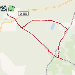
Trail Walking of 8.5 km to be discovered at Auvergne-Rhône-Alpes, Isère, Roybon. This trail is proposed by yvos38.
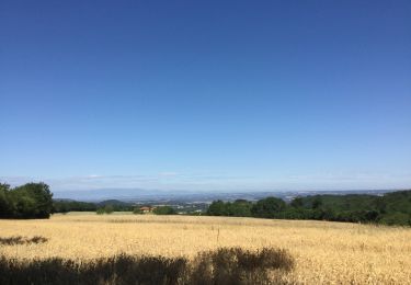
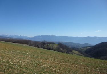
Très belle vue sur les montagne par temps clair, au niveau de la table d'orientation

Walking
Walking
Walking
Walking
Horseback riding
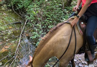
Horseback riding
Walking

Horseback riding
Horseback riding
2021 06 03 Cette randonnée bute très vite sur des barbelés ONF infranchissables. Nous n'avons pu la faire... !