


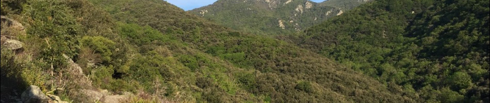
66 SOREDE - la vallée heureuse - collada de Llori par la piste - retour par le Tassio

jeff66
User


3h59
Difficulty : Difficult

FREE GPS app for hiking
 SityTrail
IGN / Geographical institutes
SityTrail Plus
The world is yours!
About
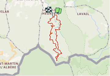
Trail Walking of 17.1 km to be discovered at Occitania, Pyrénées-Orientales, Sorède. This trail is proposed by jeff66.
Description
66 SOREDE - la vallée heureuse - Piste DFCI AL31 - Correc de la Sagueda - la Jaça del Taure - chapelle ruinée Santa Maria Magdalena - Correc de la Tanyareda - collada de Llori - gorges du Tassio - collada de l'Espinas
Photos


30 photos in total. Please click on a photo to see them all in the gallery.
Positioning
Comments