


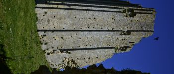
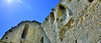
St Sornin-La tour de Broue

Bobol
User
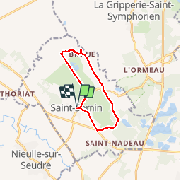

Length
9.9 km

Max alt
31 m

Uphill gradient
76 m
Km-Effort
11 km

Min alt
-3 m

Downhill gradient
76 m
Boucle
Yes
Creation date :
2016-05-06 00:00:00.0
Updated on :
2016-05-06 00:00:00.0
2h24
Difficulty : Easy

FREE GPS app for hiking
 SityTrail
IGN / Geographical institutes
SityTrail Plus
The world is yours!
About
Trail Walking of 9.9 km to be discovered at New Aquitaine, Charente-Maritime, Saint-Sornin. This trail is proposed by Bobol.
Description
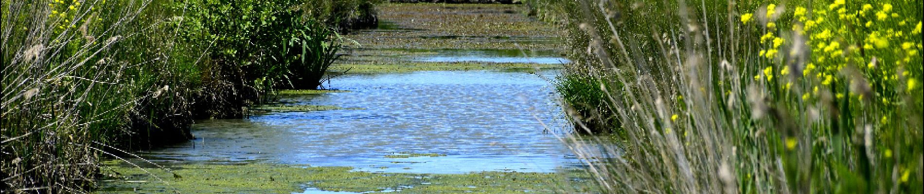
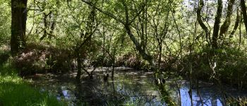
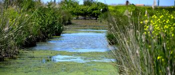
Petite ballade vers la tour de Broue. Le début est boisé et le retour dans les marais.
Aucune difficulté particulière.
Photos


Positioning
Country:
France
Region :
New Aquitaine
Department/Province :
Charente-Maritime
Municipality :
Saint-Sornin
Location:
Unknown
Start:(Dec)
Start:(UTM)
657250 ; 5070318 (30T) N.
Comments