


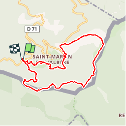


10.1 km | 17 km-effort

User


FREE GPS app for hiking
 SityTrail
IGN / Geographical institutes
SityTrail World
The world is yours!
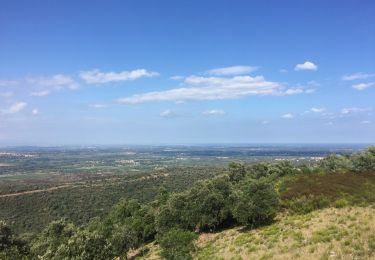
Trail Walking of 10.4 km to be discovered at Occitania, Pyrénées-Orientales, L'Albère. This trail is proposed by jeff66.
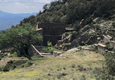
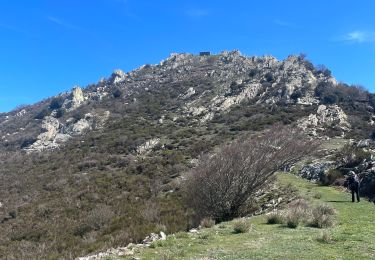
66 St-martin de L' Albère - parking à proximité de la RD71 - rejoindre la piste vers le col De l'Alzina - chemin en bordure de frontière dans une forêt de chênes verts - col de la Vinyassa - ruines de Cal Menut - suivre la piste - barrière au col Fourcat - col et pic de Forcadell - col de Colladetes - col du Pal - rejoindre le GR10 - col del ras - passage à gué sur Correc de la empordanesos - El Veinat - St Martin - mas d'en Serra


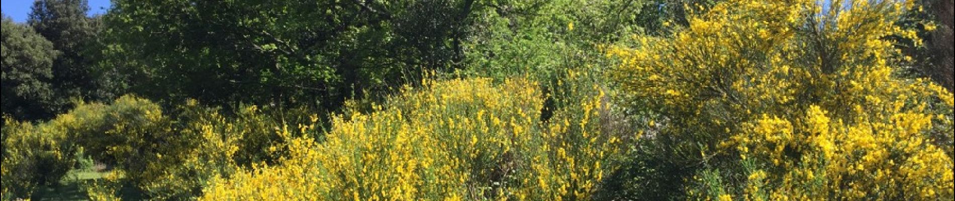
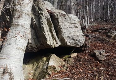
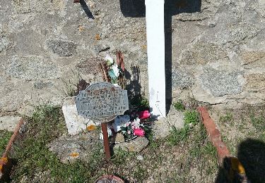
26 photos in total. Please click on a photo to see them all in the gallery.

Walking

Walking
Walking
Walking
Walking
Walking

Walking
Walking

Walking