


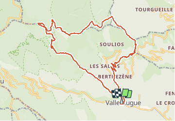


13.9 km | 19.6 km-effort

User


FREE GPS app for hiking
 SityTrail
IGN / Geographical institutes
SityTrail World
The world is yours!
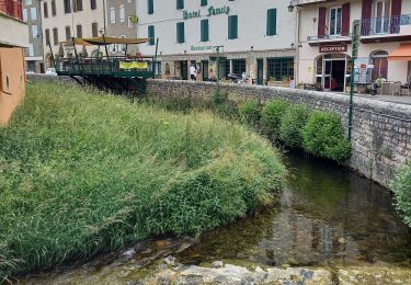
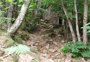
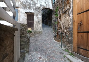
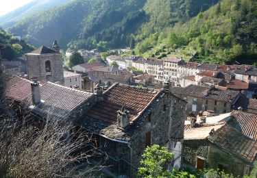
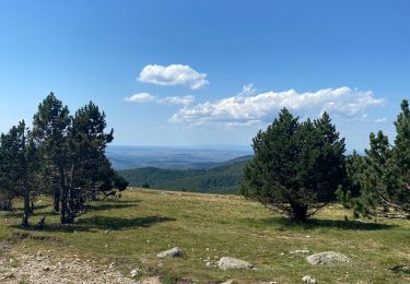
Trail Walking of 26 km to be discovered at Occitania, Gard, Val-d'Aigoual. This trail is proposed by SabetMick.
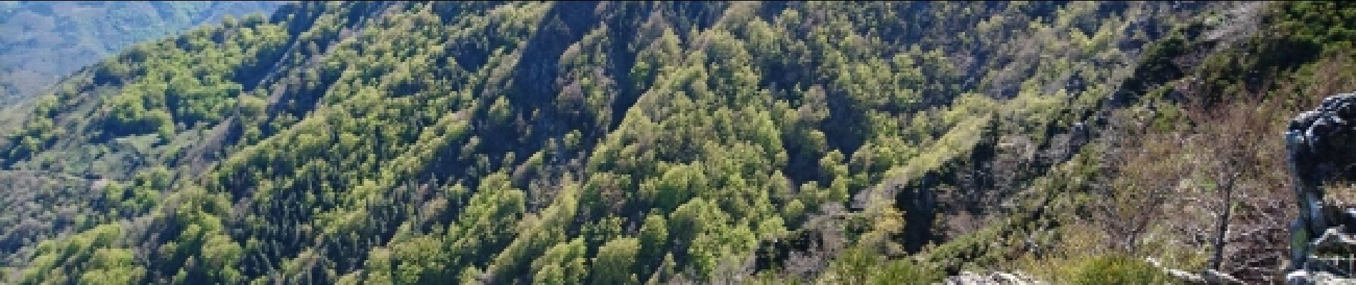
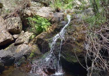
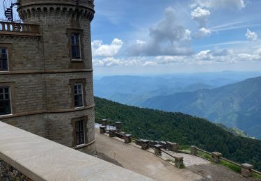
Randonnée mythique et fabuleuse avec pourtant quelques longueurs sur la fin (dfci et goudron)... De magnifiques paysage à l'arrivée au mont aigoual et tout au long de la descente. Soyez en forme car la descente est très longue...


47 photos in total. Please click on a photo to see them all in the gallery.
Walking

Walking

Walking
Walking
Walking
Walking
Walking
On foot
Walking
La montée des 4000 marches est très difficile au début mais après la beauté des paysages fait oublier la fatigue. Les panoramas sont à couper le souffle. La première partie de la descente offre de très beaux points de vue, mais la seconde partie est plus ennuyeuse surtout la fin sur la route