


Aubazines (19) 7.05.2016

reva17
User
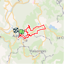

Length
14.4 km

Max alt
516 m

Uphill gradient
394 m
Km-Effort
19.7 km

Min alt
278 m

Downhill gradient
384 m
Boucle
Yes
Creation date :
2016-05-09 00:00:00.0
Updated on :
2016-05-09 00:00:00.0
4h37
Difficulty : Medium

FREE GPS app for hiking
 SityTrail
IGN / Geographical institutes
SityTrail Plus
The world is yours!
About
Trail Walking of 14.4 km to be discovered at New Aquitaine, Corrèze, Aubazines. This trail is proposed by reva17.
Description
Aubazines - Le canal des moines - La Roche Bergère - Le Puy de Pauliac
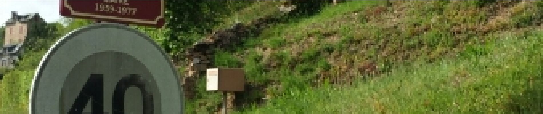
Photos
 7.05.2016 - Photo 1")
 7.05.2016 - Photo 2")
 7.05.2016 - Photo 3")
 7.05.2016 - Photo 4")
 7.05.2016 - Photo 5")
 7.05.2016 - Photo 6")
 7.05.2016 - Photo 7")
 7.05.2016 - Photo 8")
 7.05.2016 - Photo 9")
 7.05.2016 - Photo 10")
 7.05.2016 - Photo 11")
 7.05.2016 - Photo 12")
 7.05.2016 - Photo 13")
 7.05.2016 - Photo 14")
 7.05.2016 - Photo 15")
 7.05.2016 - Photo 16")
 7.05.2016 - Photo 17")
 7.05.2016 - Photo 18")
 7.05.2016 - Photo 19")
 7.05.2016 - Photo 20")
 7.05.2016 - Photo 21")
 7.05.2016 - Photo 22")
 7.05.2016 - Photo 23")
 7.05.2016 - Photo 24")
 7.05.2016 - Photo 25")
 7.05.2016 - Photo 26")
 7.05.2016 - Photo 27")
 7.05.2016 - Photo 28")
 7.05.2016 - Photo 29")
 7.05.2016 - Photo 30")
30 photos in total. Please click on a photo to see them all in the gallery.
Positioning
Country:
France
Region :
New Aquitaine
Department/Province :
Corrèze
Municipality :
Aubazines
Location:
Unknown
Start:(Dec)
Start:(UTM)
395367 ; 5003035 (31T) N.
Comments