


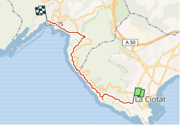

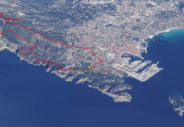
21 km | 26 km-effort

User


FREE GPS app for hiking
 SityTrail
IGN / Geographical institutes
SityTrail World
The world is yours!
Trail Walking of 10.1 km to be discovered at Provence-Alpes-Côte d'Azur, Bouches-du-Rhône, La Ciotat. This trail is proposed by Lisa84.
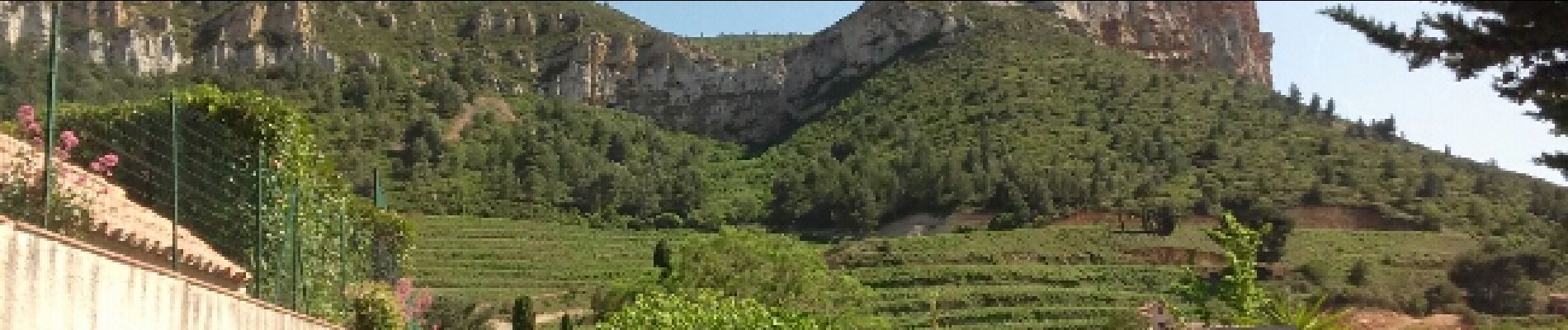
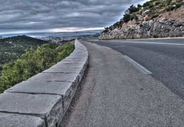
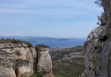
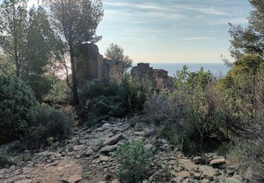
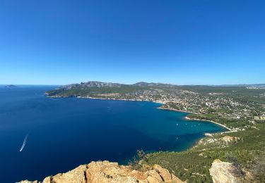
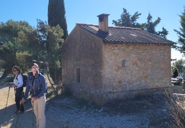
Randonnées entre La Ciotat et Cassis. Magnifiques vues sur les calanques, la chapelle Notre Dame de la Garde, le sémaphore du Bec de l'aigle, traversée des falaises soubeyranes, le Pas de la Colle pour une arrivée à Cassis.


Road bike
Walking
Walking

Walking

Walking
Walking
Walking
Walking
Walking