


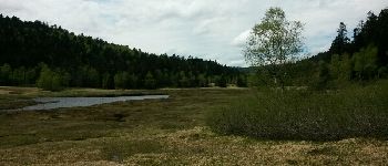
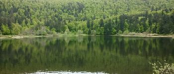
rothenbach Wildenstein col du pourri Faing col de Bramont tourbières de machais, lac de blanchemer

sit68000
User
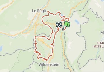

Length
22 km

Max alt
1304 m

Uphill gradient
1104 m
Km-Effort
37 km

Min alt
623 m

Downhill gradient
1098 m
Boucle
Yes
Creation date :
2017-05-03 00:00:00.0
Updated on :
2017-05-03 00:00:00.0
6h46
Difficulty : Medium

FREE GPS app for hiking
 SityTrail
IGN / Geographical institutes
SityTrail Plus
The world is yours!
About
Trail Walking of 22 km to be discovered at Grand Est, Haut-Rhin, Wildenstein. This trail is proposed by sit68000.
Description
la randonnée peut être faite à partir de Wildenstein, la montée se fera tout de suite.
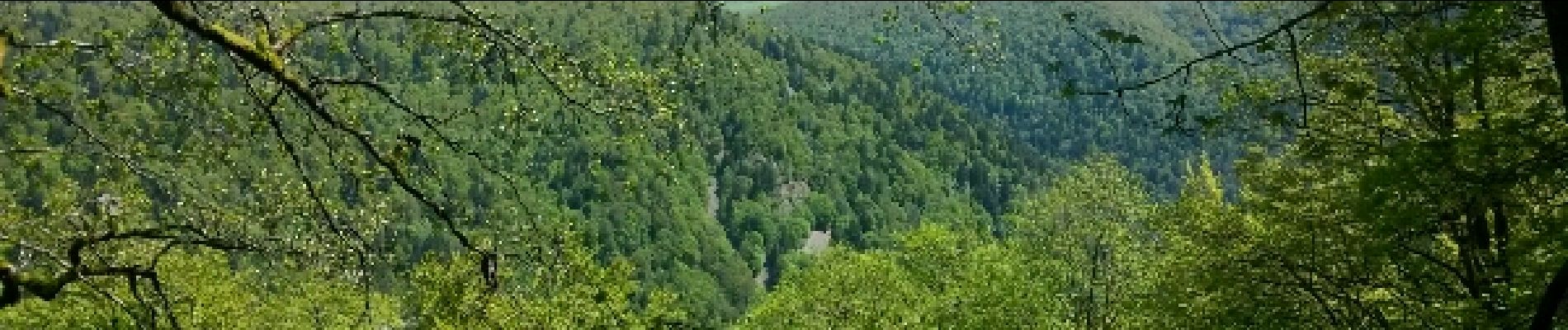
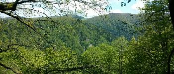
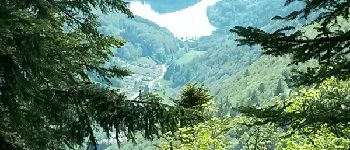
Photos


Positioning
Country:
France
Region :
Grand Est
Department/Province :
Haut-Rhin
Municipality :
Wildenstein
Location:
Unknown
Start:(Dec)
Start:(UTM)
349213 ; 5318826 (32U) N.
Comments