


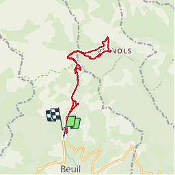
Rando Beuil, col des Moulines, hameau de Vignols

GrouGary
User

Length
15.4 km

Max alt
1985 m

Uphill gradient
900 m
Km-Effort
27 km

Min alt
1450 m

Downhill gradient
855 m
Boucle
No
Creation date :
2016-05-29 00:00:00.0
Updated on :
2016-05-29 00:00:00.0
5h38
Difficulty : Medium

FREE GPS app for hiking
 SityTrail
IGN / Geographical institutes
SityTrail Plus
The world is yours!
About
Trail Walking of 15.4 km to be discovered at Provence-Alpes-Côte d'Azur, Maritime Alps, Beuil. This trail is proposed by GrouGary.
Description
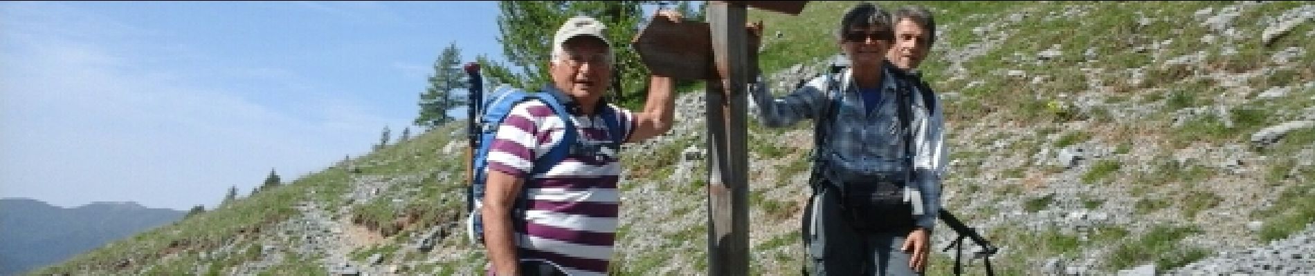
alpages fleuris et marmottes
Photos

Positioning
Country:
France
Region :
Provence-Alpes-Côte d'Azur
Department/Province :
Maritime Alps
Municipality :
Beuil
Location:
Unknown
Start:(Dec)
Start:(UTM)
338915 ; 4885620 (32T) N.
Comments