


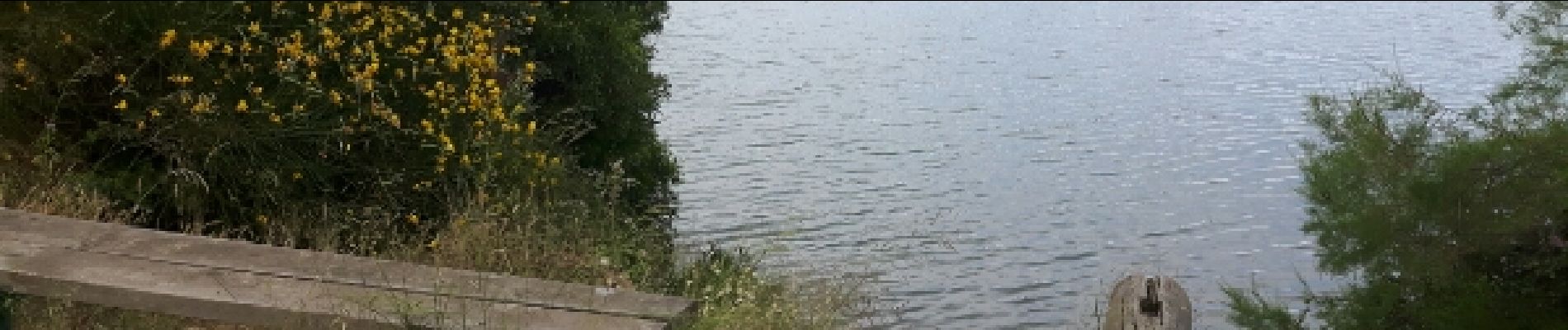
Plan d'eau de Palau del vidre

micheleducene
User


Length
2 km

Max alt
28 m

Uphill gradient
18 m
Km-Effort
2.3 km

Min alt
16 m

Downhill gradient
20 m
Boucle
Yes
Creation date :
2016-10-30 00:00:00.0
Updated on :
2016-10-30 00:00:00.0
35m
Difficulty : Very easy

FREE GPS app for hiking
 SityTrail
IGN / Geographical institutes
SityTrail Plus
The world is yours!
About
Trail Walking of 2 km to be discovered at Occitania, Pyrénées-Orientales, Palau-del-Vidre. This trail is proposed by micheleducene.
Photos


Positioning
Country:
France
Region :
Occitania
Department/Province :
Pyrénées-Orientales
Municipality :
Palau-del-Vidre
Location:
Unknown
Start:(Dec)
Start:(UTM)
496700 ; 4714100 (31T) N.
Comments