


Steinbach -cantine Zehler

Derrendinger
User
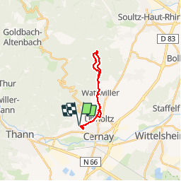

Length
15.6 km

Max alt
677 m

Uphill gradient
422 m
Km-Effort
21 km

Min alt
303 m

Downhill gradient
422 m
Boucle
Yes
Creation date :
2016-07-01 00:00:00.0
Updated on :
2016-07-01 00:00:00.0
1h33
Difficulty : Medium

FREE GPS app for hiking
 SityTrail
IGN / Geographical institutes
SityTrail Plus
The world is yours!
About
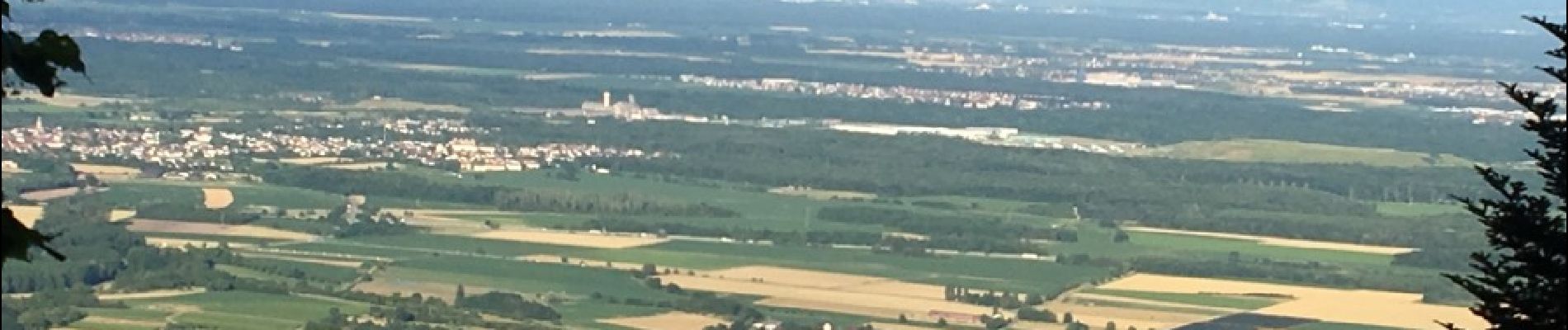
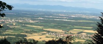
Trail Mountain bike of 15.6 km to be discovered at Grand Est, Haut-Rhin, Steinbach. This trail is proposed by Derrendinger.
Photos


Positioning
Country:
France
Region :
Grand Est
Department/Province :
Haut-Rhin
Municipality :
Steinbach
Location:
Unknown
Start:(Dec)
Start:(UTM)
362325 ; 5297469 (32T) N.
Comments