


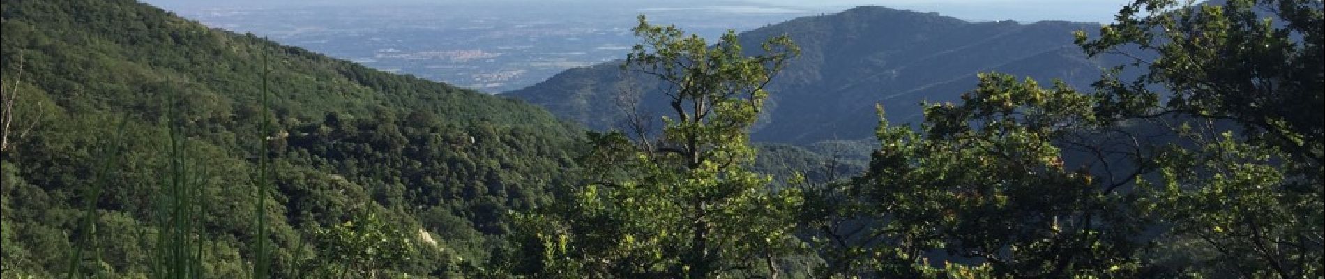
66 SOREDE - la vallée heureuse, Collada DE l'Orry, font-pla-refuge du Tanyarède, col de l'Ouillat, Casot del Guarda, le Piton

jeff66
User


6h00
Difficulty : Very difficult

FREE GPS app for hiking
 SityTrail
IGN / Geographical institutes
SityTrail Plus
The world is yours!
About
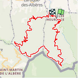
Trail Walking of 31 km to be discovered at Occitania, Pyrénées-Orientales, Sorède. This trail is proposed by jeff66.
Description
66 SOREDE - la vallée heureuse, La Forge, rue de la Fargue, av. Roger Tondu, piste DFCI AL31, chapelle ruinée Santa maria Magdalena de Veda, Collada DE l'Orry, font-pla-refuge du Tanyarède, piste DFCI AL18, col de l'Ouillat, piste DFCI AL12, Casot del Guarda, piste DFCI AL19, route du piton, rue de la Fargue
Photos


Positioning
Comments