


st Thomas

Fildesir
User

Length
14 km

Max alt
1540 m

Uphill gradient
610 m
Km-Effort
22 km

Min alt
1165 m

Downhill gradient
613 m
Boucle
Yes
Creation date :
2016-07-11 00:00:00.0
Updated on :
2016-07-11 00:00:00.0
6h01
Difficulty : Unknown

FREE GPS app for hiking
 SityTrail
IGN / Geographical institutes
SityTrail Plus
The world is yours!
About
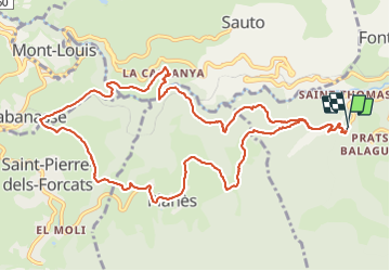
Trail Walking of 14 km to be discovered at Occitania, Pyrénées-Orientales, Fontpédrouse. This trail is proposed by Fildesir.
Description
comite
Photos


Positioning
Country:
France
Region :
Occitania
Department/Province :
Pyrénées-Orientales
Municipality :
Fontpédrouse
Location:
Unknown
Start:(Dec)
Start:(UTM)
431596 ; 4705672 (31T) N.
Comments