


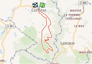
Concèze- Les vignes

houbart
User


2h06
Difficulty : Easy

FREE GPS app for hiking
 SityTrail
IGN / Geographical institutes
SityTrail Plus
The world is yours!
About
Trail Walking of 6.6 km to be discovered at New Aquitaine, Corrèze, Concèze. This trail is proposed by houbart.
Description
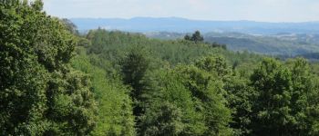
Départ place de l'église. Beau point de vue sur la région (St Robert, Ayen...).
Photos


Positioning
Comments