


12.4 km | 12.8 km-effort


User


FREE GPS app for hiking
 SityTrail
IGN / Geographical institutes
SityTrail World
The world is yours!
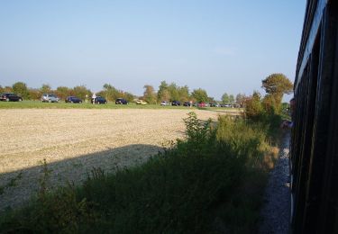
Trail Cycle of 75 km to be discovered at Hauts-de-France, Somme, Rue. This trail is proposed by Baltykatt.
Départ gare de Rue.

Walking

Equestrian
On foot
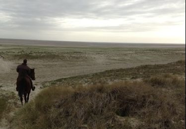
Equestrian

Horseback riding
très fonctionnel !
Parfait pour les amoureux de l'eau. Baie de Somme pour commencer puis fleuve tout au long de cette ballade à plat. De beaux villages à découvrir: Le Crotoy, Pont-Remy et Long.