


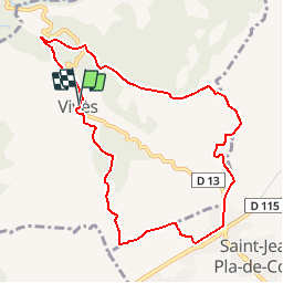


7.9 km | 8.8 km-effort


User


FREE GPS app for hiking
 SityTrail
IGN / Geographical institutes
SityTrail World
The world is yours!
Trail Walking of 9.9 km to be discovered at Occitania, Pyrénées-Orientales, Vivès. This trail is proposed by bernarb.
Rando proposée par Tourisme Pyrénées orientale.
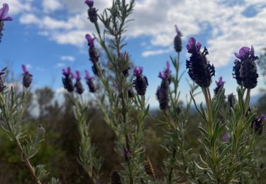
A découvrir: Vivès village typique des Aspres, vues grandioses sur le massif des Albères et le canigou dans une flore typiquement méditerranéenne, l'institut méditerranéen du liège,chapelle Saint-Sébastien
Départ chemin au fond du parking du village. Balisage jaune.
sabrinalx66@gmail.com
06/08/2016


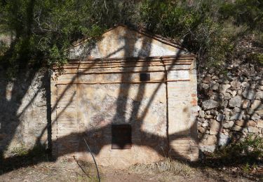
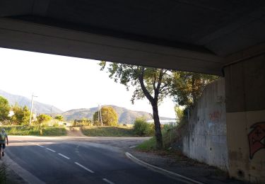
21 photos in total. Please click on a photo to see them all in the gallery.

Walking

Walking
Walking

Walking
Walking
Walking
Walking

Walking
Walking
Très sympa, joli village et belle vue, mais à éviter en cas de forte chaleur, peu d’ombre et rivière à sec
exellent circuit. - super