


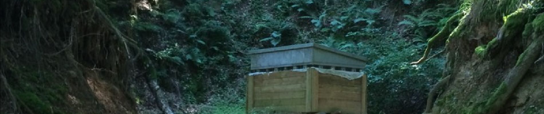
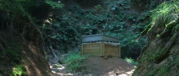
Les mines de Steinbach

Schnacka
User


3h24
Difficulty : Medium

FREE GPS app for hiking
 SityTrail
IGN / Geographical institutes
SityTrail Plus
The world is yours!
About
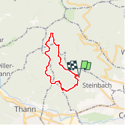
Trail Walking of 10.7 km to be discovered at Grand Est, Haut-Rhin, Steinbach. This trail is proposed by Schnacka.
Description
Très belle randonnée proposée par le Club Vosgien de Cernay dans la page randonnée du journel l'Alsace.
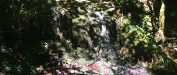
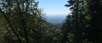
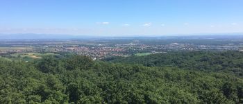
Cette rando vous permettra de découvrir de beaux points de vue et surtout les mines de fer de Steinbach A noter que la mine St Nicolas peut se visiter certains jours.
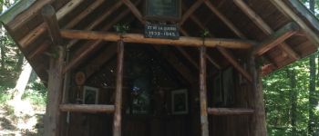
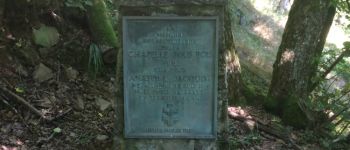
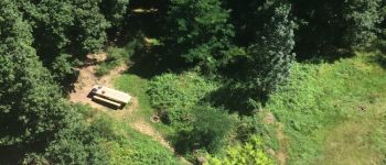
Photos


Positioning
Comments