


Le refuge de la martin

amiral13
User GUIDE
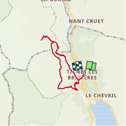

Length
13.4 km

Max alt
2416 m

Uphill gradient
991 m
Km-Effort
27 km

Min alt
1560 m

Downhill gradient
991 m
Boucle
Yes
Creation date :
2017-08-27 00:00:00.0
Updated on :
2017-08-27 00:00:00.0
6h26
Difficulty : Easy

FREE GPS app for hiking
 SityTrail
IGN / Geographical institutes
SityTrail Plus
The world is yours!
About
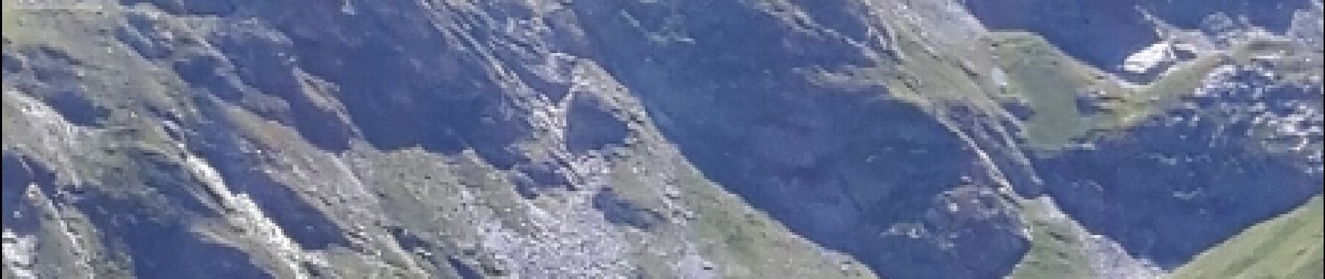
Trail Walking of 13.4 km to be discovered at Auvergne-Rhône-Alpes, Savoy, Tignes. This trail is proposed by amiral13.
Description
cette randonnée a été réalisée avec un enfant de 9 ans, le temps de parcours peut être donc être réduit.
Photos


Positioning
Country:
France
Region :
Auvergne-Rhône-Alpes
Department/Province :
Savoy
Municipality :
Tignes
Location:
Unknown
Start:(Dec)
Start:(UTM)
337687 ; 5041336 (32T) N.
Comments