


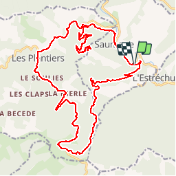

13.6 km | 21 km-effort


User


FREE GPS app for hiking
 SityTrail
IGN / Geographical institutes
SityTrail World
The world is yours!
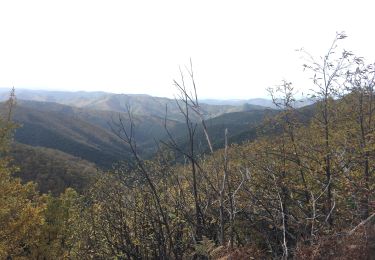
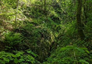
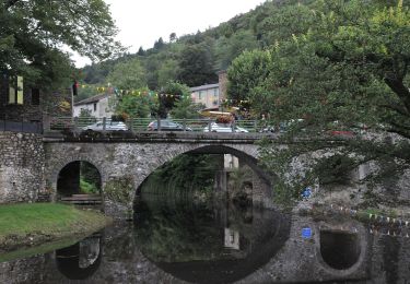
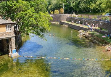
Trail Other activity of 30 km to be discovered at Occitania, Gard, Saumane. This trail is proposed by scombe.
depart par saumane (la tourette) chemin vtt jusqu a route du plantier puis route jusqu a l asclier en redescendant vers l estrechure puis en coupant par chemin vtt l abecedele puis route jusqu a saumane (camping verdier)

Walking
Walking
Walking

Walking
Walking
Walking
On foot
Walking