


Le refuge de Péclet Polset

direction-ot
User


5h15
Difficulty : Easy

FREE GPS app for hiking
 SityTrail
IGN / Geographical institutes
SityTrail Plus
The world is yours!
About
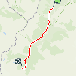
Trail Walking of 7.5 km to be discovered at Auvergne-Rhône-Alpes, Savoy, Pralognan-la-Vanoise. This trail is proposed by direction-ot.
Description
Des variantes existent pour "en faire plus" : vers le col de Chavière 2796m (difficile) - belvédère vers la Haute Maurienne ou vers le col du Souffre (2819), également difficile - avec un descente possible sur le refuge du Saut et la vallée de Méribel.


Positioning
Comments