


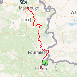
Véloroute3 de Hirson à Maubeuge

destras
User

Length
66 km

Max alt
266 m

Uphill gradient
722 m
Km-Effort
76 km

Min alt
126 m

Downhill gradient
766 m
Boucle
No
Creation date :
2016-10-01 00:00:00.0
Updated on :
2016-10-01 00:00:00.0
3h10
Difficulty : Medium

FREE GPS app for hiking
 SityTrail
IGN / Geographical institutes
SityTrail Plus
The world is yours!
About
Trail Cycle of 66 km to be discovered at Hauts-de-France, Aisne, Hirson. This trail is proposed by destras.
Description
La ScandIbérique au nord de la France de Hirson à Maubeuge. VTC conseillé absolument.
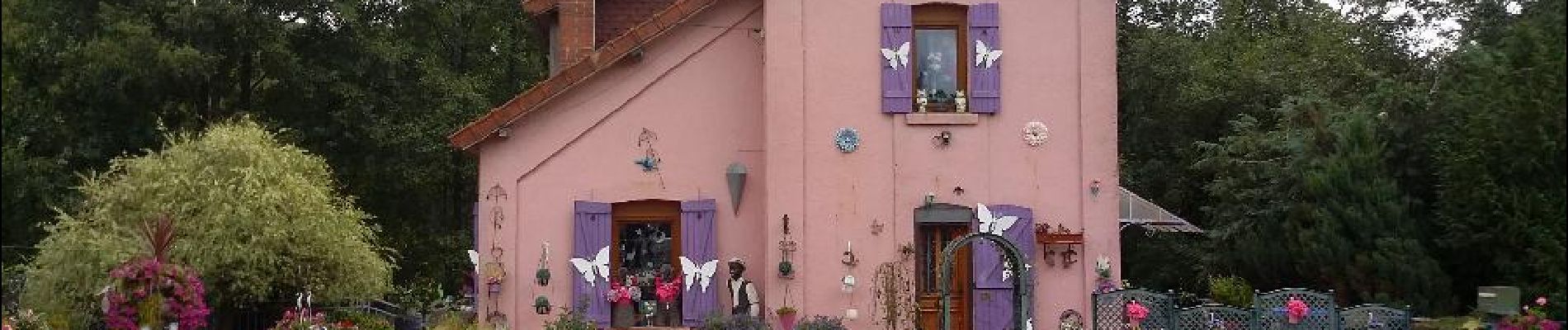
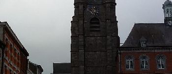
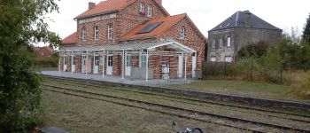
Photos


Positioning
Country:
France
Region :
Hauts-de-France
Department/Province :
Aisne
Municipality :
Hirson
Location:
Unknown
Start:(Dec)
Start:(UTM)
577959 ; 5530022 (31U) N.
Comments