


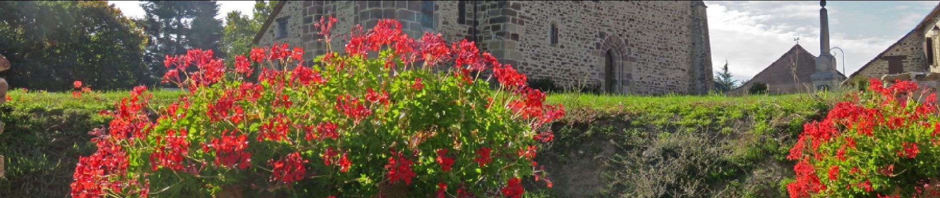
Saint Martin Sepert- Le ruisseau d'Habriat

houbart
User
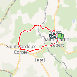

Length
5.1 km

Max alt
412 m

Uphill gradient
108 m
Km-Effort
6.6 km

Min alt
367 m

Downhill gradient
107 m
Boucle
Yes
Creation date :
2019-03-28 15:47:17.701
Updated on :
2019-03-28 15:47:17.768
1h23
Difficulty : Easy

FREE GPS app for hiking
 SityTrail
IGN / Geographical institutes
SityTrail Plus
The world is yours!
About
Trail Walking of 5.1 km to be discovered at New Aquitaine, Corrèze, Saint-Martin-Sepert. This trail is proposed by houbart.
Description
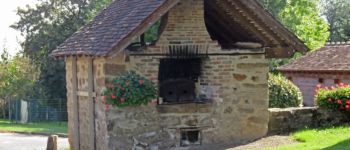
Au départ, four à pain et vieux puits. A St-Pardoux-Corbier, église romane du XIIème siècle, ancien lavoir.
Photos


Positioning
Country:
France
Region :
New Aquitaine
Department/Province :
Corrèze
Municipality :
Saint-Martin-Sepert
Location:
Unknown
Start:(Dec)
Start:(UTM)
380422 ; 5032330 (31T) N.
Comments