


Ferrère (65) - Port de Balès (1755).

AndreLACOMBE
User
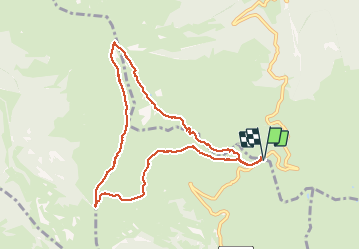

Length
10.1 km

Max alt
2144 m

Uphill gradient
471 m
Km-Effort
16.3 km

Min alt
1750 m

Downhill gradient
470 m
Boucle
Yes
Creation date :
2016-11-29 00:00:00.0
Updated on :
2016-11-29 00:00:00.0
3h29
Difficulty : Medium

FREE GPS app for hiking
 SityTrail
IGN / Geographical institutes
SityTrail Plus
The world is yours!
About
Trail Walking of 10.1 km to be discovered at Occitania, Hautespyrenees, Ferrère. This trail is proposed by AndreLACOMBE.
Description
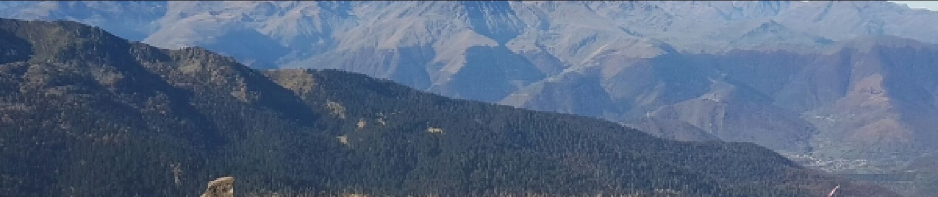
Ascension vers le Mont Né (2147 m) et retour par le Port de Pierrefite.
Photos
 - Port de Balès (1755). - Photo 1")
 - Port de Balès (1755). - Photo 2")
 - Port de Balès (1755). - Photo 3")
 - Port de Balès (1755). - Photo 4")
Positioning
Country:
France
Region :
Occitania
Department/Province :
Hautespyrenees
Municipality :
Ferrère
Location:
Unknown
Start:(Dec)
Start:(UTM)
295880 ; 4749875 (31T) N.
Comments