


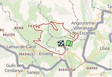

11.8 km | 18.2 km-effort


User


FREE GPS app for hiking
 SityTrail
IGN / Geographical institutes
SityTrail World
The world is yours!
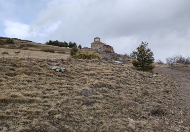
Trail Walking of 20 km to be discovered at Occitania, Pyrénées-Orientales, Ur. This trail is proposed by ThonyM.
Une belle randonnée pas difficile


Walking
Walking
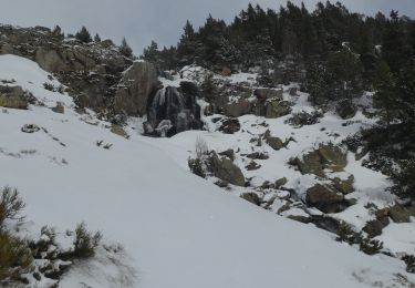
Snowshoes
Walking
Walking
Walking

Walking
Walking
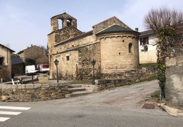
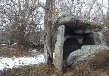
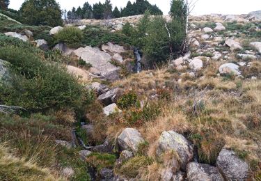
Très belle randonnée proposant des paysages variée. Après le 13ème km, cependant, nous n'avons pas réussi à rejoindre, hors sentier, le Riu de Brangoly selon la trace GPX (trop de broussailles) et avons dû reprendre la route. Mais elle est très peu fréquentée et traverse un joli paysage. Bref, aucun regret.