


Steinbach-Becherkopf

bernard688
User


Length
10.1 km

Max alt
867 m

Uphill gradient
508 m
Km-Effort
16.8 km

Min alt
408 m

Downhill gradient
507 m
Boucle
Yes
Creation date :
2019-04-28 14:52:51.665
Updated on :
2020-12-01 16:12:35.528
3h33
Difficulty : Medium

FREE GPS app for hiking
 SityTrail
IGN / Geographical institutes
SityTrail Plus
The world is yours!
About
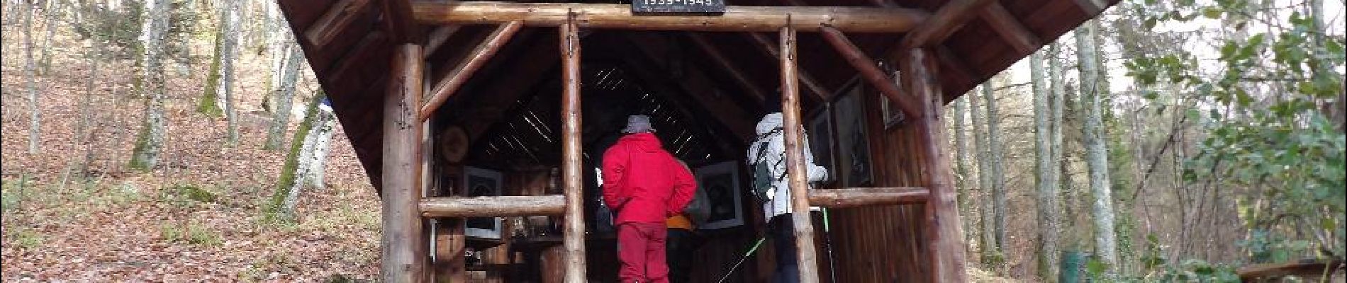
Trail Walking of 10.1 km to be discovered at Grand Est, Haut-Rhin, Steinbach. This trail is proposed by bernard688.
Photos


Positioning
Country:
France
Region :
Grand Est
Department/Province :
Haut-Rhin
Municipality :
Steinbach
Location:
Unknown
Start:(Dec)
Start:(UTM)
360891 ; 5298544 (32T) N.
Comments