


5.8 km | 6.3 km-effort


User


FREE GPS app for hiking
 SityTrail
IGN / Geographical institutes
SityTrail World
The world is yours!
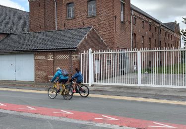
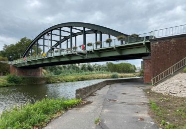
Trail Cycle of 45 km to be discovered at Wallonia, Hainaut, Celles. This trail is proposed by Tabisla.
Côte Grégoire Decorte
Mont-Saint-Aubert (ouest)
Mont-Saint-Aubert (est)
Mur d'Hérinnes
On foot

On foot

Equestrian

On foot

Walking
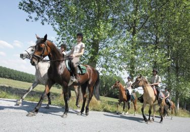
Equestrian
Walking
Walking
Walking