


Fors 9,7 km

olaze
User
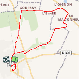

Length
9.7 km

Max alt
65 m

Uphill gradient
59 m
Km-Effort
10.5 km

Min alt
31 m

Downhill gradient
59 m
Boucle
Yes
Creation date :
2016-12-07 00:00:00.0
Updated on :
2016-12-07 00:00:00.0
2h19
Difficulty : Easy

FREE GPS app for hiking
 SityTrail
IGN / Geographical institutes
SityTrail Plus
The world is yours!
About
Trail Walking of 9.7 km to be discovered at New Aquitaine, Deux-Sèvres, Fors. This trail is proposed by olaze.
Description
Randonnée autour de Fors.sur chemins et petites routes . Campagne .Club rando Bessines 12/2016. Départ parking mairie ou parking église .
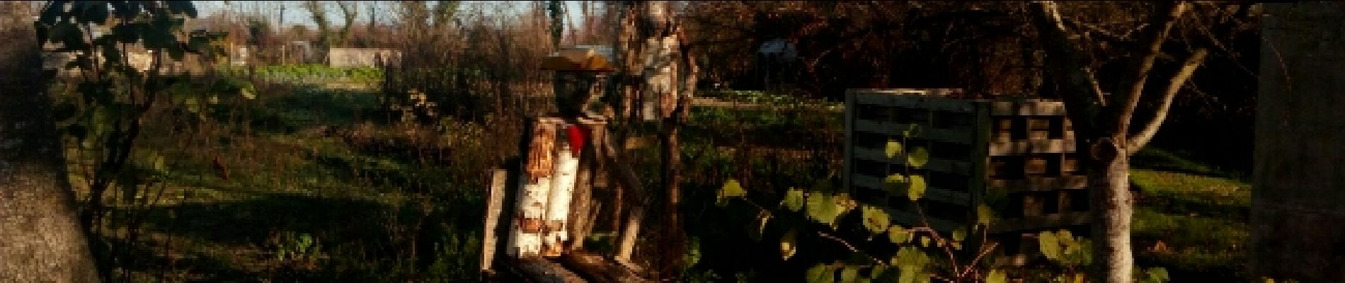
Photos

Positioning
Country:
France
Region :
New Aquitaine
Department/Province :
Deux-Sèvres
Municipality :
Fors
Location:
Unknown
Start:(Dec)
Start:(UTM)
699682 ; 5123401 (30T) N.
Comments